18/02/2026 – 13:23 GMT+1
State forecaster Météo France warned that persistent winds of 100 kilometres per hour or more were expected across the southwest following Storm Pedro’s arrival, with powerful gales potentially reaching 140 km/h.
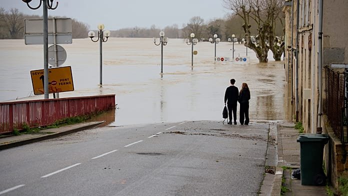
Four departments in western France remained on red alert for flooding on Wednesday as Storm Pedro moved in, with a further nine under orange alert for rain and flooding.
ADVERTISEMENT
ADVERTISEMENT
Charente-Maritime, Gironde, Lot-et-Garonne and Maine-et-Loire are the worst-affected areas, with France’s national flood monitoring service reporting that soil moisture has reached its highest level since records began in 1959.
Around 1,700 people have been evacuated in Lot-et-Garonne since 10 February due to rising waters.
After a brief lull on Tuesday afternoon, Météo France forecast further widespread disruption across the west of the country as Storm Pedro brought heavy rainfall to already saturated ground.
In Angers, authorities warned of historic flooding, with roads along the Maine river deliberately flooded to reduce pressure on the river elsewhere. The city’s mayor Christophe Béchu described it as the highest level of flooding in 25 years.
Floodwaters have spread hundreds of metres beyond the river’s banks around the mid-western city.
In La Réole in Gironde, water levels of the Garonne have fallen slightly but the drinking water network has been disrupted, as in several other towns in the region.
State forecaster Météo France warned that persistent winds of 100 kilometres per hour or more were expected across the southwest following Storm Pedro’s arrival, with powerful gales potentially reaching 140 km/h around Perpignan and the eastern Pyrénées overnight into Thursday.
France has been under orange or red weather alerts somewhere in the country for 30 consecutive days, according to Météo France.


